
Final Report
Project Goals
FAQ
Engagment
Documents
Contact
Study Overview
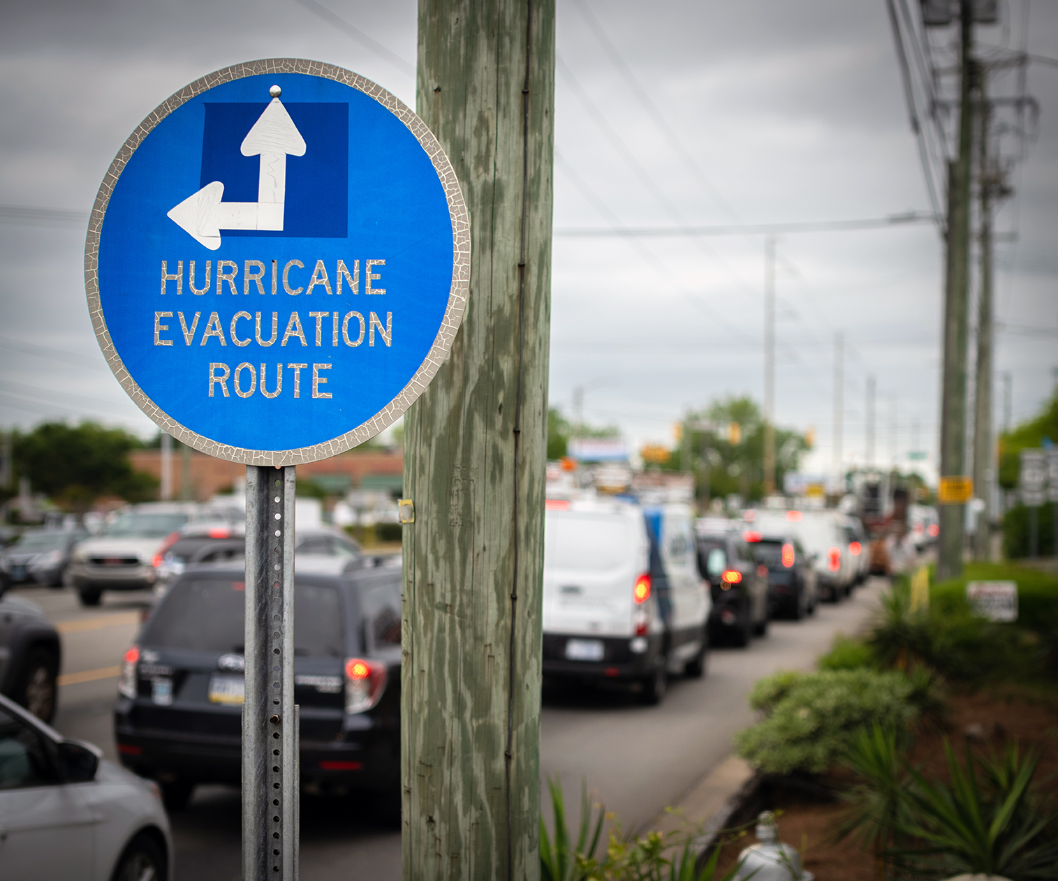
A critical component of transportation agencies’ policy and program decision-making is system resilience to disruption. Evacuation plans are one way to respond to disruptions, such as hurricanes, or flooding. These plans are part of state and county operations plans, and include an inventory of available shelters, identification of evacuation routes, and providing transportation services for persons unable to evacuate on their own
The Storm Evacuation Forecast & Shelter-in-Place Scenarios Study will supplement this ongoing work by providing a high-level analysis of Hillsborough’s evacuation practices today. The study will evaluate best practices in evacuation regionally and nationally, assess potential evacuation enhancement options in Hillsborough County, and develop a set of recommendations and next steps for the Hillsborough Transportation Planning Organization and other agencies to consider to support emergency evacuations in Hillsborough County.
Storm Evacuation and Shelter-in-Place Study Draft Final Report- March 2022
What will the study include?
The overall goal of this study is to assess and identify potential strategies to improve evacuation procedures without undertaking expensive road widening projects. The objectives are to enhance the transportation experience to safely, efficiently, and effectively meet evacuation needs for all affected people. This includes evaluating how and where people evacuate, whether by car, transit or on foot to a shelter or out of the county.
The map provided here allows you to view evacuation zones, evacuation routes, and shelters based on the services provided.
- Issue Identification: Here we will identify and choose the evacuation topics or issues for additional analysis. Potential evacuation topics could be evacuation behavior changes over time based on past evacuations, bottlenecks on evacuation routes or near shelters, or transit opportunities during evacuations.
- Evaluation and Recommendations: Here we will provide high level assessments of the identified topics and provide recommendations for future implementation or further development.
- Study Report: The report will combine research and analysis from previous stages to develop a holistic look at Hillsborough’s evacuation conditions and options.
FAQ
Hillsborough County provides on lie information and forms at: https://www.hillsboroughcounty.org/en/residents/stay-safe/storm The map on here allows you to enter an address and see the evacuation zone, evacuation routes, and shelters.
How can I find out about public engagement opportunities?
TPO staff will distribute information about the open houses to members of the public and local stakeholders through social media outlets.
Even if you can’t make the open house, you can still learn about the project and take the survey. The team will post the PowerPoint presentation, survey, and a recording of the first open house to this page.
Why do we need this study? Why are evacuation plans important?
Evacuation plans are necessary to prepare the public for natural and human-caused disasters. A major component of any plan is research; the process of developing a plan will allow Hillsborough County to take a step back and evaluate evacuation alternatives in order to ensure that residents are evacuated most efficiently and safely in the future.
What is “behavioral data” and how will this data be used?
The behavioral data analyzed in this study are derived from the Statewide Regional Evacuation Study. These data provide information on how many people evacuate and where they go. This information helps us estimate the transportation capacity needs in the case of emergency. The behavioral data tell us how many people evacuate to shelters specifically, allowing us to evaluate shelter inventories.
Public Engagement
Public engagement is an important component of the study’s development. Evacuation issues and topics addressed will be identified from what we hear from members of the public and agency stakeholders.
Stay Connected
Sign up to receive email updates on this project.
Virtual Open House
August 25, 2021 Open House Presentation (PDF)
Storm Evacuation Forecast & Shelter in Place Scenarios Study Virtual Open House 8 25 21 – YouTube
Resources
Hillsborough County Evacuation Zones [printable map]
2021 Hurricane Evacuation Assessment Tool (HEAT) (arcgis.com)
Emergency Evacuation Maps | HART (gohart.org)
Disaster Preparedness Guide 2021 (hillsboroughcounty.org)
Documents
Storm Evacuation & Shelter in Place Study – Final Report
Storm Evacuation & Shelter in Place Study – Fact Sheet
Presentation to TPO Policy Committee – July 2022
This is where you will be able to find presentations and final documents as they are produced.

Contact
Allison G. Yeh, AICP, LEED GA
TPO Executive Planner. Sustainability Coordinator
Main – (813) 272-5940
Direct – (813) 582-7351