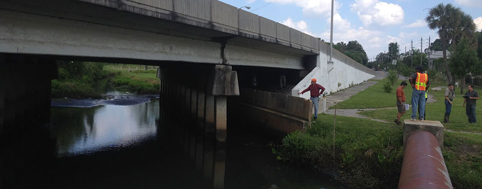
 February 2022 – The Hillsborough River’s water quality is paramount to the habitat, wildlife, and public use of this important natural resource. The State of Florida implements the Federal Clean Water Act to maintain and improve the water quality, including that of the Hillsborough River. In November, Kevin O’Donnell of the Florida Department of Environmental Protection (DEP) gave a presentation to the Hillsborough River Board’s Technical Advisory Council on Impaired and Threatened Waters. This DEP Program implements Section 303(d) of the Federal Clean Water Act. The Federal Clean Water Act requires states to identify water bodies that do not meet these standards and develop Total Maximum Daily Loads (TMDLs) for them as part of a Watershed Management approach. A TMDL is a calculation of the highest amount of a pollutant that a water body can take in and still meet standards for healthy systems. DEP collects samples, conducts tests, determines pollutants, sets criteria, and implements Basin Management Action Plans (BMAPs) to restore the watershed. A water body can be impaired for excessive nutrients, bacteria or other harmful contaminants.
DEP updates its list of Impaired and Threatened Waters every two years. The process by which DEP obtains and provides water quality data includes multiple sources. One tool DEP now uses is the Watershed Information Network (WIN). DEP also provides an Impaired Waters Rule (IWR) database that is shared with the public. DEP has an interactive public mapping tool that allows everyone with a computer connection to access the information. This tool allows residents to check for water quality impairments in their area. Thereby DEP provides opportunities for the public to participate in this important program to help maintain and improve the water quality of the Hillsborough River and other water bodies.
For more information: https://floridadep.gov/dear/watershed-assessment-section
DEP provides a maps viewer for the public: https://fdep.maps.arcgis.com/apps/mapviewer/index.html?webmap=1b4f1bf4c9c3481fb2864a415fbeca77.
Subscribe to DEP to get updates and notifications: https://floridadep.gov/dear/dear/content/subscribe#IWR
![]()