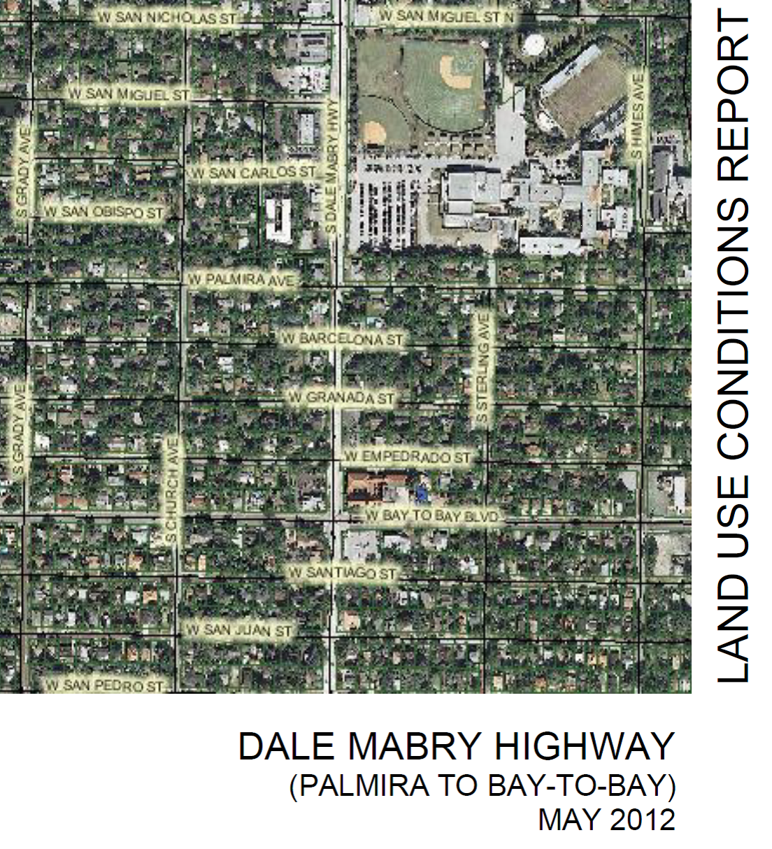
In 2011, an amendment to the Tampa Comprehensive Plan Future Land Use Map was requested for a parcel of land located within the Palma Ceia/Virginia Park neighborhoods, lying adjacent to Dale Mabry Highway in South Tampa. This request to the Tampa Comprehensive Plan, if approved by the Tampa City Council, would set a different policy direction than has been established and maintained since the platting of the Palma Ceia Park Subdivision in 1907 and the Virginia Park Subdivision in 1915. In discussions with the petitioner of the amendment, City of Tampa staff, and the Tampa City Council, it was determined that a comprehensive study of the subject site and properties that share the same and similar characteristics in the surrounding area should be conducted. Residential in character and use today, the study area is comprised of the lands adjacent or proximate to Dale Mabry Highway, lying between Palmira Avenue and Bay-to-Bay Boulevard, approximately 100 feet deep. This study will review the current conditions of the ten block area, solicit input of the neighborhood and affected owners regarding a potential change to the Future Land Use Map designations, assess impacts of potential development if the designated Future Land Use Map were to be changed, review the trends and any major change in circumstances which may affect the suitability of properties in this particular area for the kind of development indicated and planned for by the Tampa Comprehensive Plan.
Posted
in
by
collinsj
Tags: