Category: Bicycle
-
Hillsborough County Bicycle Network Plan
Project Overview Committed to improving the mobility and safety of all residents, Hillsborough County and the TPO are looking to identity, evaluate, and prioritize bicycle facility needs along the County’s roadway transportation network. Establishing a data-driven methodology and process to address the mobility and safety needs of people on bicycles will assist in realizing the […]
-

Plant City Canal Trail Study
Project Overview The Canal Connector Trail was identified as one of three (3) catalyst projects in the Plant City Walk-Bike Plan prepared by the Hillsborough TPO in 2018. The city currently has a very limited amount of active transportation or recreational trail systems that would fit the description of regional context. Introducing an iconic trail […]
-

University of South Florida to Green ARTery Trail Study (2022)
Based on interviews with partner agencies and community groups and a survey of existing conditions in the study area, two alternatives are proposed to connect the Green ARTery Trail to the USF area shown in the graphics below. These alternatives have been scored based on their ability to improve safety and meet the goals of […]
-

West Tampa Multi Modal Plan (2018)
Please click HERE to view the final report. As part of the “Livable City” vision for Tampa, a robust network of pedestrian and bicycle facilities is critical for both transportation and livability. The neighborhoods of West Tampa have been experiencing a wave of reinvestment, revitalization, and growth; with this there is a need to ensure […]
-

Transportation Level of Service Report
In coordination with the Hillsborough County Development Services Department the City of Tampa, and the City of Plant City, the Hillsborough Transportation Planning Organization has developed the 2022 Level of Service Report. The report includes highway level of service for regulated roads throughout the county as well as level of service for bicycles, pedestrians, and […]
-
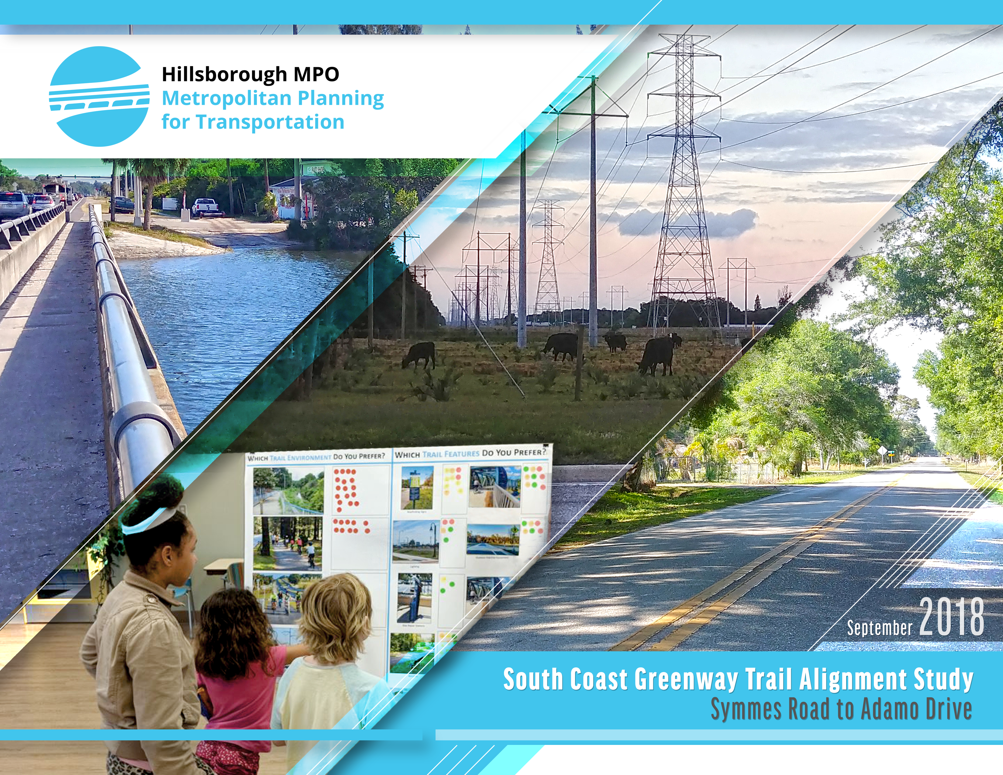
South Coast Greenway Trail Study – Symmes Road to Adamo Drive (2018)
Implementation of the South Coast Greenway Trail will assist in completing a major component of the greenways and trails system in eastern Hillsborough County, and provide additional mobility options for the Palm River, Clair Mel, Progress Village, and Gibsonton areas. The trail is included in the Florida Shared-Use Nonmotorized (SUN) Trail Network and will generally […]
-
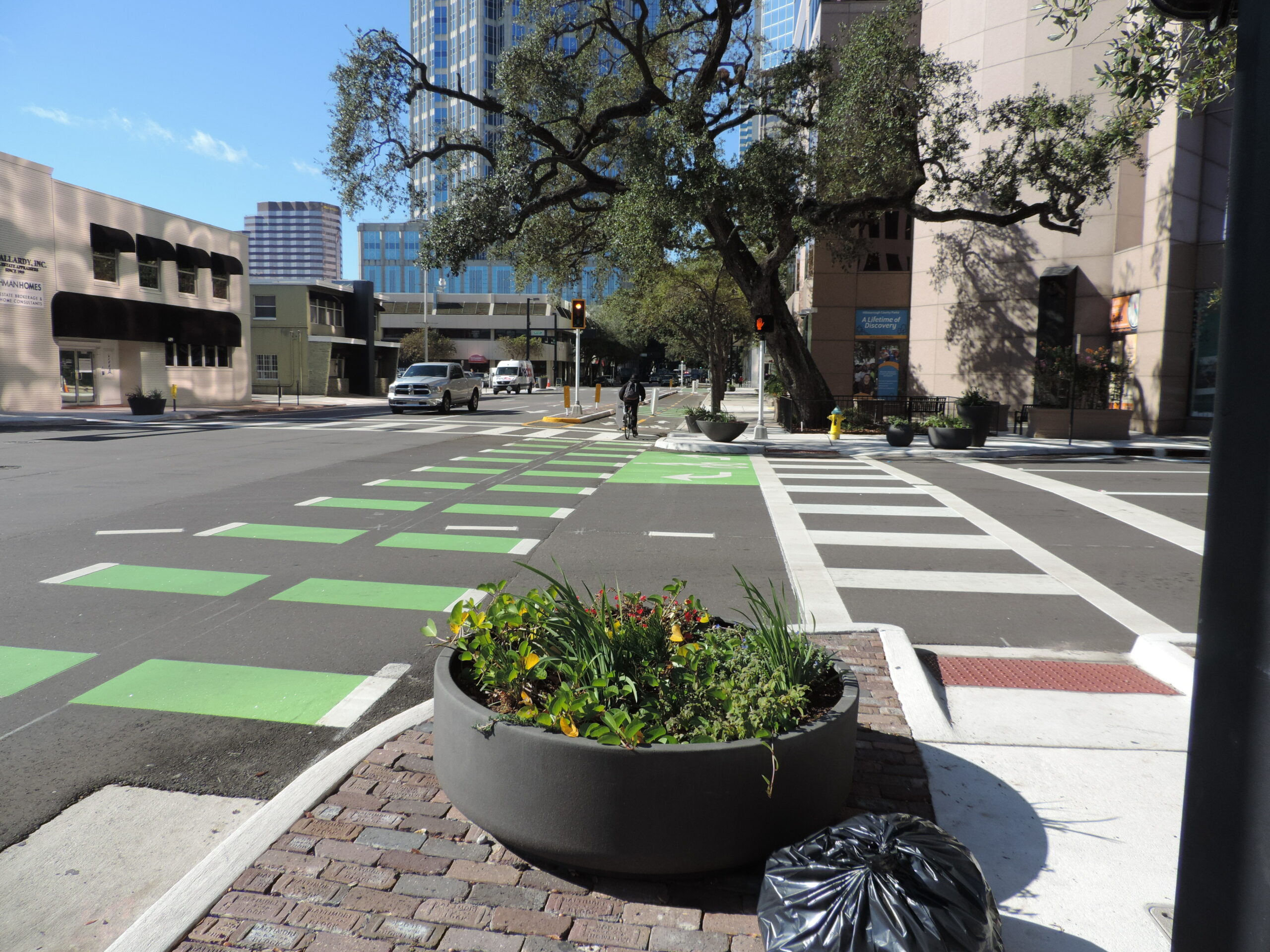
Morgan Street Complete Street Study (2017)
This report includes urban complete streets design concepts for Morgan Street in downtown Tampa that were prepared by University of South Florida, College of Engineering graduate students. The project was made possible by a grant from the Hillsborough Metropolitan Planning Organization (MPO). The design concepts are presented for consideration by the Hillsborough MPO, the City […]
-
Kennedy Blvd Multimodal Safety Review (2017)
The SR60-Kennedy Blvd Multimodal Safety Review was conducted by the Hillsborough County Metropolitan Planning Organization in coordination with the Florida Department of Transportation and the City of Tampa. The purpose of the study was to diagnose the most significant causes of conflict along the corridor and identify strategies to enhance multimodal safety and mobility. The […]
-
Dale Mabry Pedestrian Overpass Feasibility Study (2017)
The Hillsborough County MPO is conducting a feasibility study of various alternatives that will connect the existing section of the I-275 trail which currently terminates at Church Avenue along the north side of I-275, across Dale Mabry Highway, to a proposed trail alignment along the south side of I-275 starting at Himes Avenue. The approximate study […]
-
Bullard Parkway Complete Streets Study (2017)
The Bullard Parkway Complete Streets Study was completed by the Hillsborough Metropolitan Planning Organization (MPO) for the City of Temple Terrace and was approved by the MPO Board on August 1, 2017. Complete Streets is an approach to planning and design which prioritizes safe access, and comfortable and convenient travel. For this reason, the approach […]
-
Walk | Bike Plant City (2017)
With a beautiful historic downtown, growing population, and newly developing areas; Plant City offers residents and visitors an abundance of activities. The goal of this project is to develop a bicycle and pedestrian network that connects residents, businesses, and recreation areas with safe routes for pedestrians and cyclists. The study considers the feasibility of trails, […]
-
Tampa Hillsborough Greenways and Trails Master Plan Update (2016)
The Tampa‐Hillsborough Greenways and Trails Plan Update had two major objectives. The first objective was to update the County’s Greenways Master Plan by integrating the various recent pedestrian, bicycle, and multi‐use trail projects and planning efforts into the Plan. The second was to identify trail and facility connection opportunities to further improve the region’s multimodal […]
-

Design Treatments Pedestrian Crossing & Bike Striping (2004)
The Hillsborough County Metropolitan Planning Organization (MPO) considers the safety of its citizens paramount. In response to these safety concerns and the need to provide more efficient use of existing roadway rights-of-way, the MPO strives to provide an environment that encourages balance between conventional (single occupant private vehicles and other transportation modes) and non-conventional (walking, […]
-

Interactive Bicycle Suitability Map
Use: left-click, hold and drag to pan; mouse-wheel forward and backward to zoom in and out; or use the navigation controls in the lower-right corner of the map. View this map fullscreen or on a mobile device Travel routes are color-coded based on the identified categories. A route may be considered less suitable for bicycling […]
-
George Road Walk/Bike Connector and Complete Street Study (2016)
The George Road Connector Study took place over a two year period from February 2013 to February 2015. The task of the study is to recommend a connecting trail or other walk/bike facility that would provide links to neighborhood assets in the Town N Country (TNC) community and close a gap between the regionally significant […]