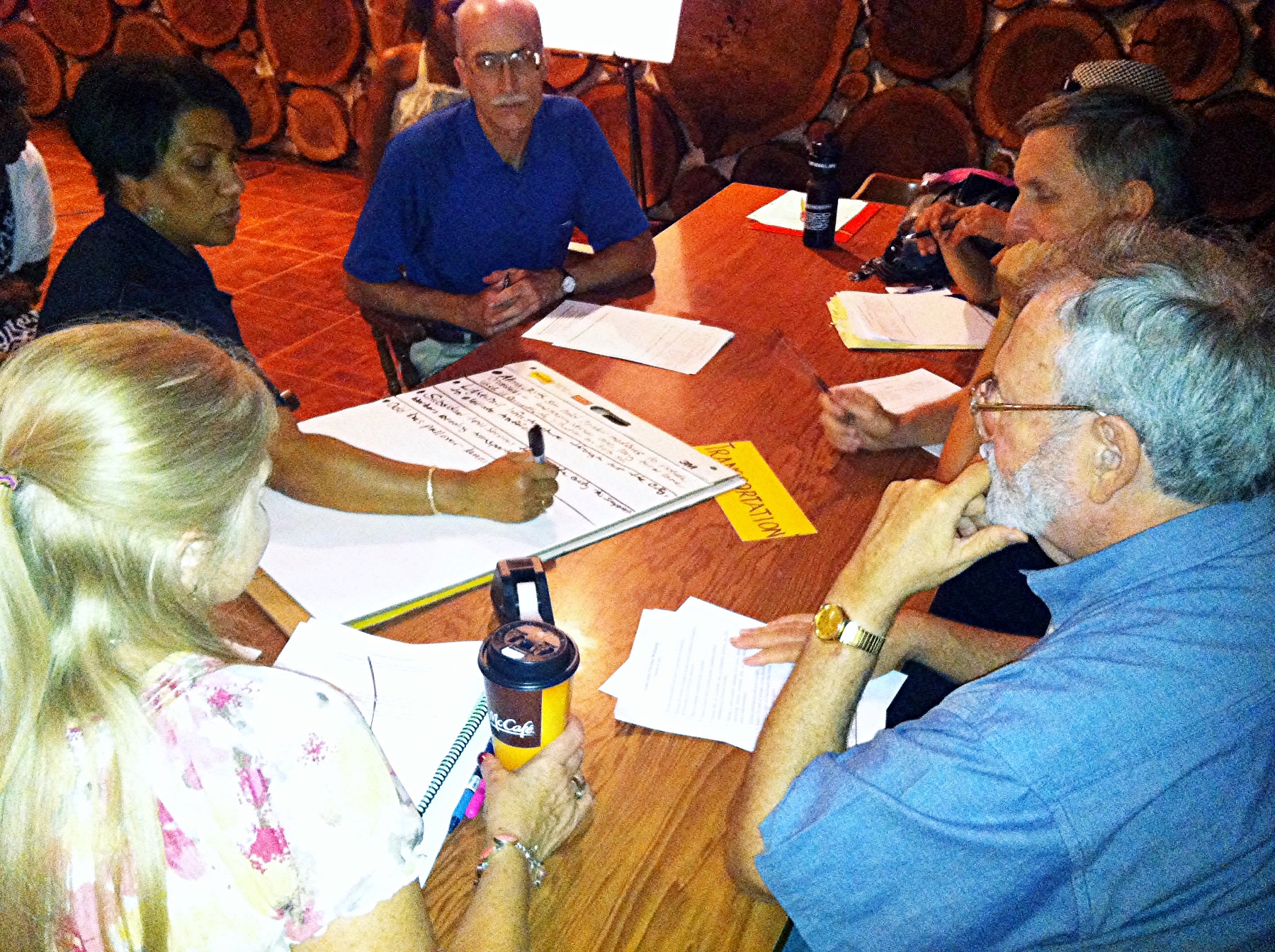
Category: Community Plan
-

University of South Florida to Green ARTery Trail Study (2022)
Based on interviews with partner agencies and community groups and a survey of existing conditions in the study area, two alternatives are proposed to connect the Green ARTery Trail to the USF area shown in the graphics below. These alternatives have been scored based on their ability to improve safety and meet the goals of […]
-
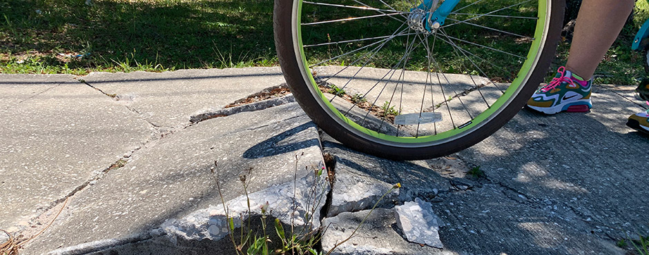
Hillsborough County Vision Zero Corridor Studies
Please choose any of these High Injury Corridors below to review the vision zero safety study report results and fact sheets. Surveys were available from September 1 – 30, 2020, the results of the public engagement are within the reports. For more information, view the corridor fact sheets and videos: Mango Road/CR579 (MLK Boulevard […]
-
SouthShore Transit Study Reevaluation (2018)
In 2014, the MPO conducted the SouthShore Transit Circulator Study that developed transit priorities for the SouthShore area. Since then, HART has undergone an overhaul of their transit system known as Mission MAX, which decreased service in the SouthShore area. HART has requested that the MPO reevaluate the previous study and update based on the […]
-
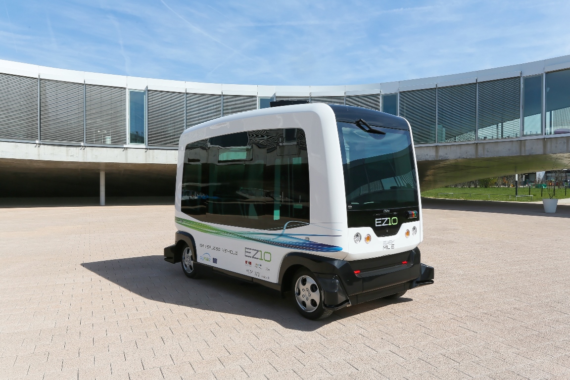
USF Campus Autonomous Transit Feasibility Study (2019)
USF Autonomous Transit Feasibility Study Final Report Recognizing the interest in autonomous and connected technology as a mobility tool, the MPO sponsored an exploratory, feasibility study for a transit circulator on the University of South Florida (USF) campus using automated vehicle/connected vehicle technology. The study was conducted by USF’s Center for Urban Transportation Research. Enormous […]
-

Brandon Corridor & Mixed Use Centers Pilot Project (2017)
The Brandon Corridors and Mixed-Use Centers Study was a joint pilot project of the Hillsborough MPO and the Planning Commission.
-
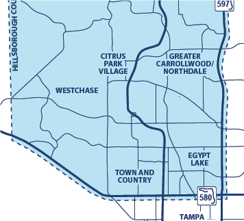
Northwest Hillsborough Transit Study (2018)
The Northwest Hillsborough Transit study was a joint study by the Hillsborough Metropolitan Planning Organization (MPO) and the Hillsborough Area Regional Transit Authority (HART). The study evaluated the current and planned transit in the area west of the Veteran’s Expressway, and developed a plan for transit improvements. The study looked at different types of transit […]
-
Northwest Area Community Plan
The Northwest Area Community Plan will create well-defined, vital communities with a sense of place through a development option that features creation of traditional neighborhoods and town centers while preserving a large interconnected greenway system and natural resources. The creation of compact, mixed-use neighborhoods, with economic vitality, mobility, and connectivity will encourage a desired […]
-
Terrace Park-University Square (City of Tampa)
In early 2012, the Planning Commission was asked to prepare a vision plan for Terrace Park-University Square community at the request of City of Tampa Councilwoman Lisa J. Montelione, with the approval of Tampa Mayor Bob Buckhorn. Residents and stakeholders of the Terrace Park-University Square community worked together for 14 months, through a process of […]
-
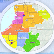
Wimauma Village Plan
Planning Commission Staff Contacts: Jay Collins, Executive Planner • Special Area Studies Manager E collinsj@plancom.org • T 813.582.7335 Para preguntas en español sobre Plan Comunitario de Wimauma, comuníquese con: Sofia Garantiva, Senior Planner • Special Area Studies E garantivas@plancom.org • T 813.582.7320 To locate the complete adopted text of the community plan go to the Livable […]
-
Town ‘N Country Community Plan
The Town ‘N Country Community Plan became effective January 7, 2005. The Community Plan area is bordered by Pinellas County to the west, Tampa Bay to the south, Tampa International Airport to the east, and Linebaugh Avenue to the north. It encompasses the visions and strategies related to the adoption of the Town ‘N Country […]
-
Thonotosassa Community Plan
The Thonotosassa Community Plan boundary map, implementation strategies and a vision statement sets forth the community’s preference for services and facilities, protection of natural resources, land uses for the area, recreational opportunities, enhanced civic involvement, and community pride.
-

Ruskin Community Plan
Ruskin lies within the “SouthShore Areawide Systems Plan” area. The SouthShore Areawide Systems planning initiative called for the preparation of six community plans, one of which was for the Ruskin area. The Ruskin Community Plan consists of goals and strategies that address the development of a town center, revitalization of the existing commercial corridors, the […]
-
Riverview Community Plan
Riverview lies within the “SouthShore Areawide Systems Plan” area. The SouthShore Areawide Systems planning initiative called for the preparation of six community plans, one of which was for the Riverview area. The Riverview Community Plan consists of thirteen (13) goals and strategies that are generally intended to enhance community character, promote the development of a […]
-
Greater Palm River Area Community Plan
Greater Palm River Area Community Plan (Effective August 26, 2008) Planning Commission Staff Contact: Countywide Planner • Countywide Planning Team E planner@plancom.org • T 813.272.5940 • F 813.272.6258 Hillsborough County, Development Services Staff Contact: Matt Lewis, Executive Planner •Community Planning Section E LewisM@hillsboroughcounty.org• T 813.307.4507 • F 813.272.6068 To locate the complete adopted text of […]
-
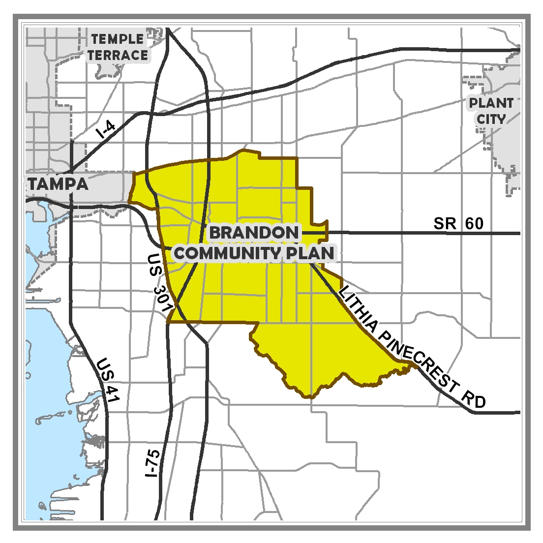
Brandon Community Plan
The Brandon Community Plan consists of eight (8) goals and implementation strategies, and the Multi-Modal Transportation District and Character District maps. The community’s goals address transportation, natural environment, infrastructure, character, recreational and cultural resources, protection of existing neighborhoods, and economic competitiveness and regional collaboration. […]